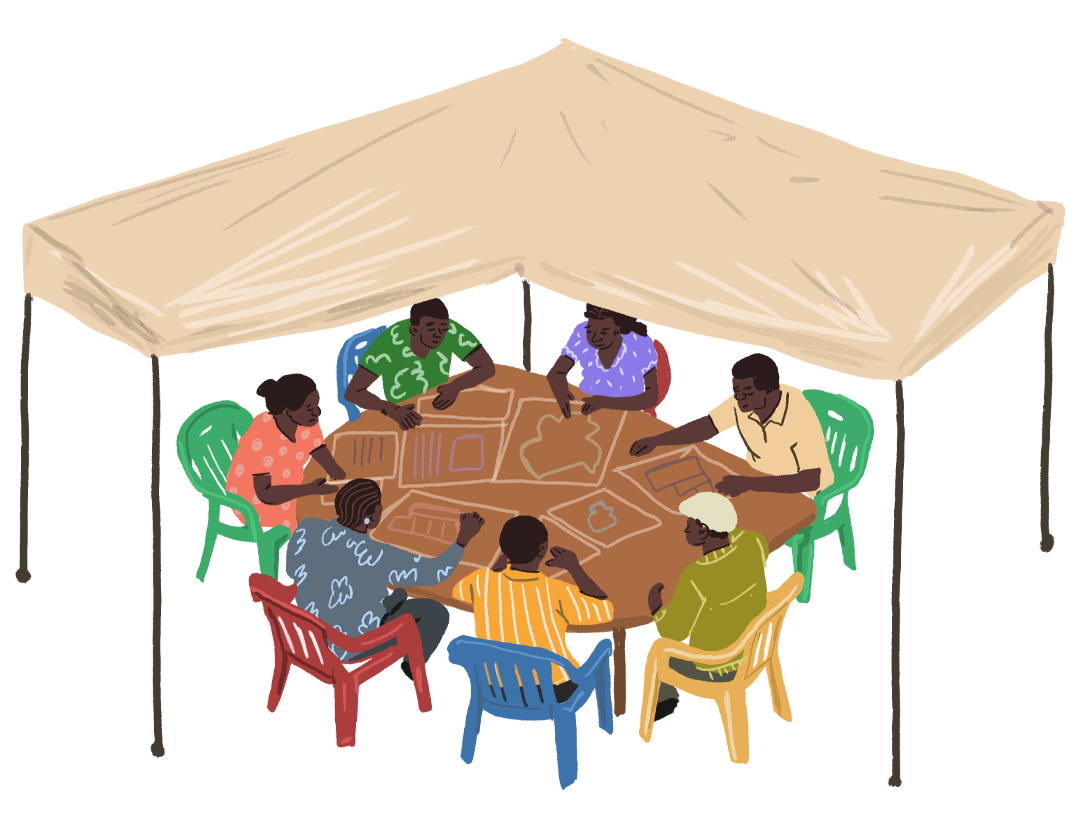
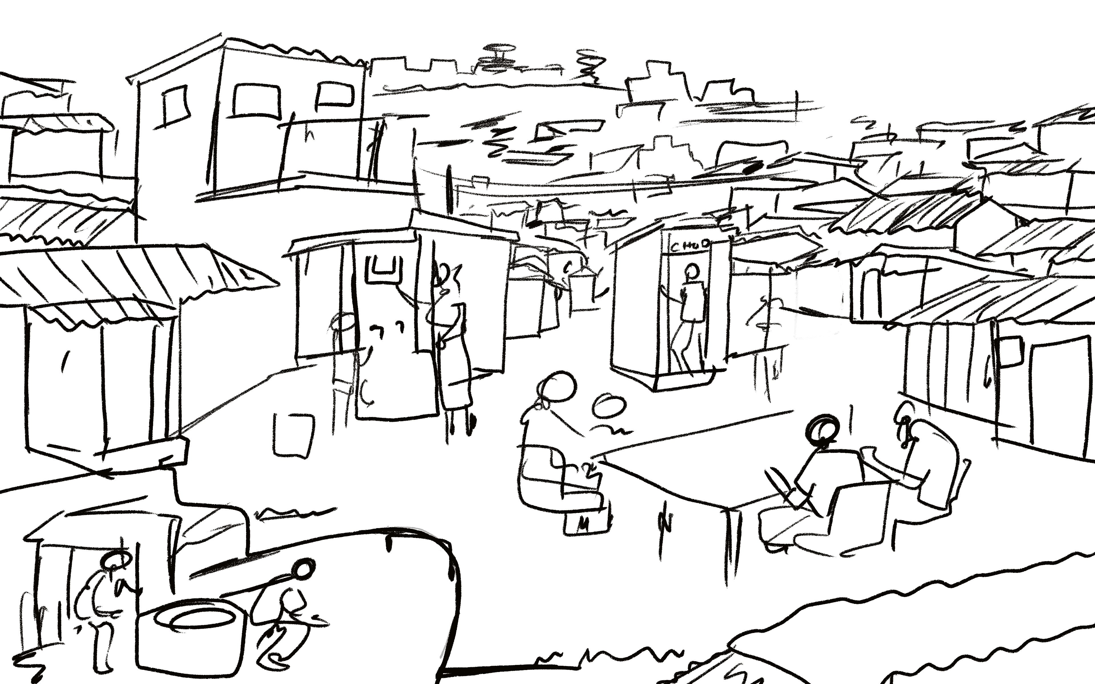
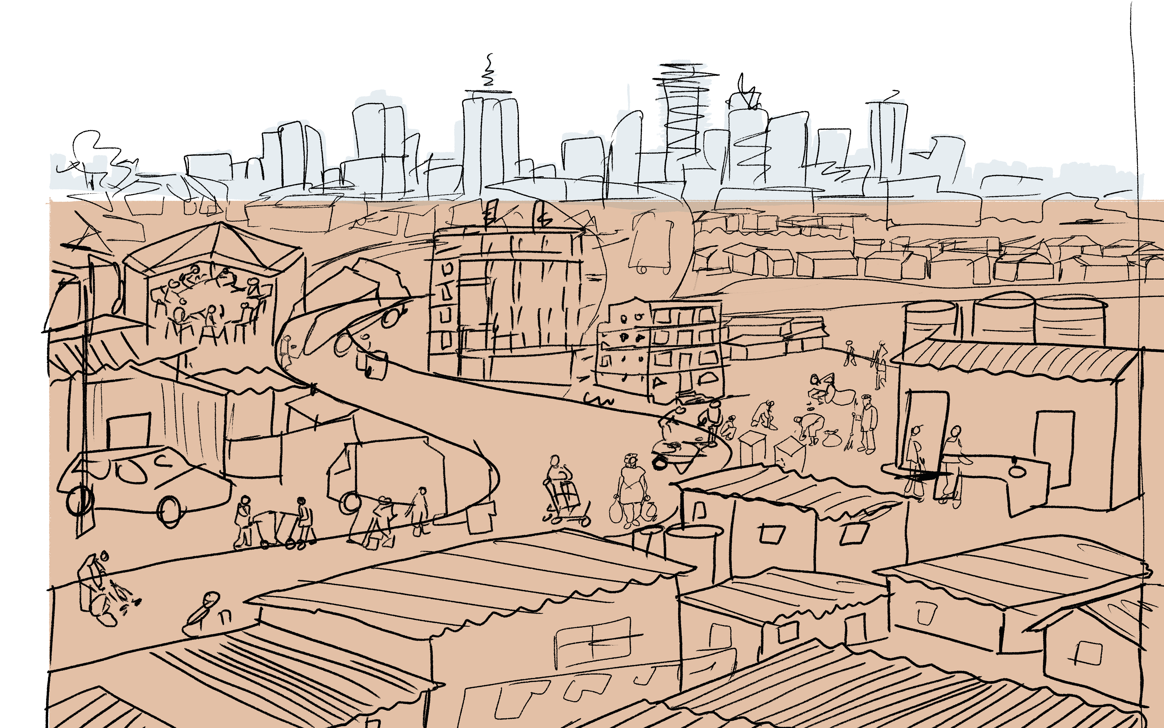
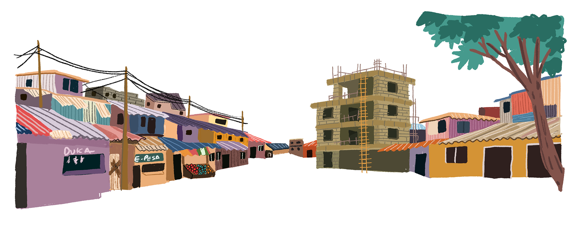
For this project with ACRC, I developed a series of illustrations and visual system maps exploring how Nairobi’s informal settlements can be transformed through community-led planning, service delivery, and urban imagination.
The work looked at six interconnected projects: school feeding, WASH, land and tenure, waste management, Ngong River restoration, and refugee integration. Each illustration translated technical systems into lived urban scenes, showing how infrastructure, policy, public space, ecology, food, water, land, and belonging are connected in everyday life.
Inspired by the idea that overlooked spaces can hold deep potential, the illustrations imagine informal settlements not as places of absence, but as places already full of knowledge, networks, care, and possibility. Across the series, communities are shown as active builders of change: feeding children, cleaning rivers, organizing around land, managing waste, accessing water, and creating more inclusive systems for refugees and host communities.
Client: African Cities Research Consortium (ACRC)

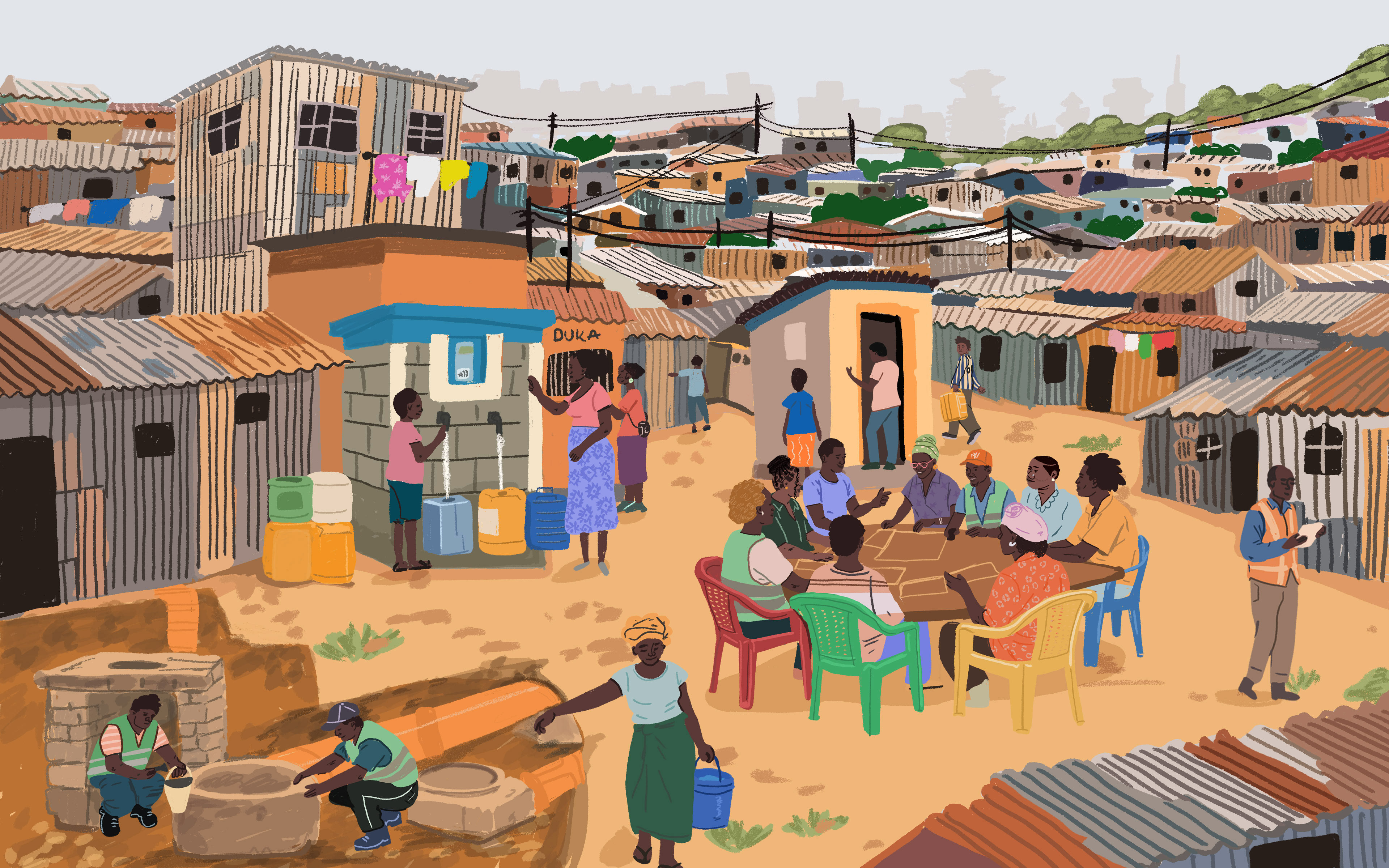
Dignity in Every Drop
The WASH illustration explores access to safe, reliable, and affordable water and sanitation in Mukuru. The visual story shows how household connections, prepaid water dispensers, simplified sewerage, and community-centred governance can become part of a larger pathway toward public health and dignity. The project visualisation highlights 1,401 last-mile plot connections, 62 prepaid water dispensers, and the goal of reaching 22,560 households in Mukuru.
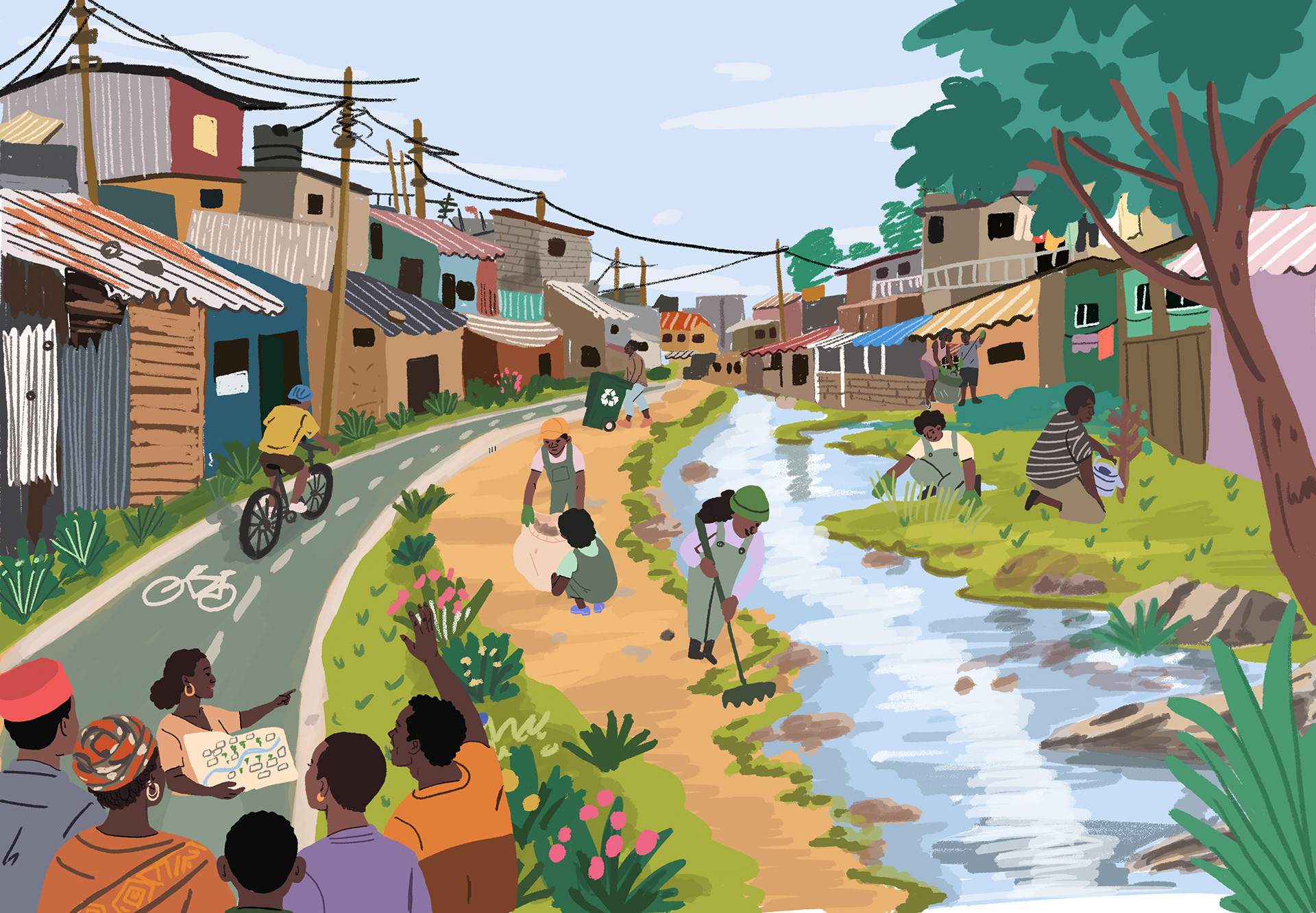
Reimagining Ngong River
The Ngong River illustration imagines ecological restoration as a social and urban project. It brings together river cleaning, biodiversity, child-friendly public spaces, food gardens, sanitation facilities, waste management centres, and non-motorized transport. The system visualisation describes the restoration of 42 km of the Ngong River, with the aim of improving more than 200,000 lives in Nairobi.
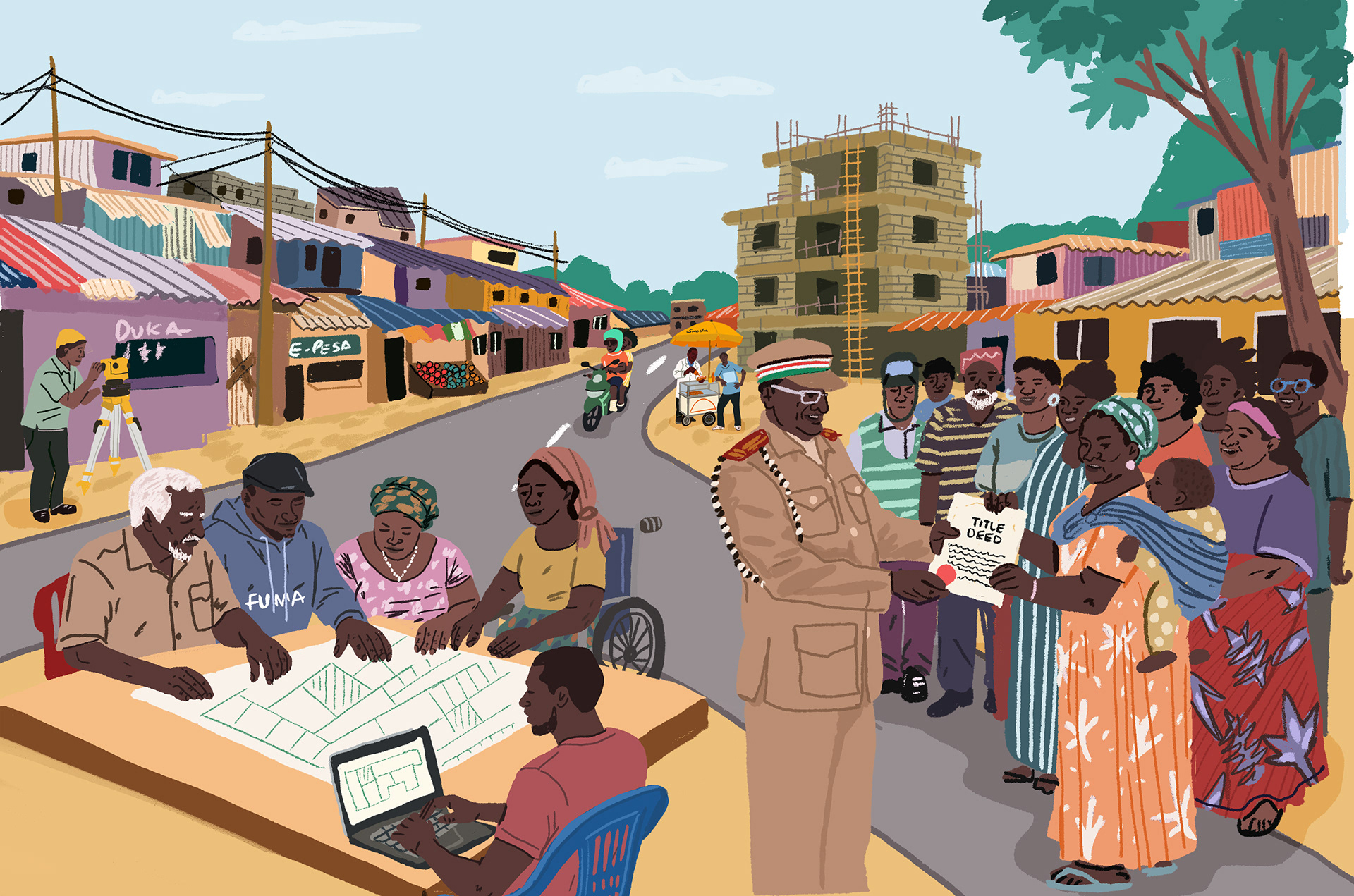
Security and Tenure in Mathare
This piece looks at land ownership, tenure, and planning in Mathare. It visualizes land not only as property, but as memory, security, dispute resolution, and the foundation for fairer urban development. The system map highlights land records for 382 parcels in Mathare and frames community-led evidence as a pathway to tenure security.
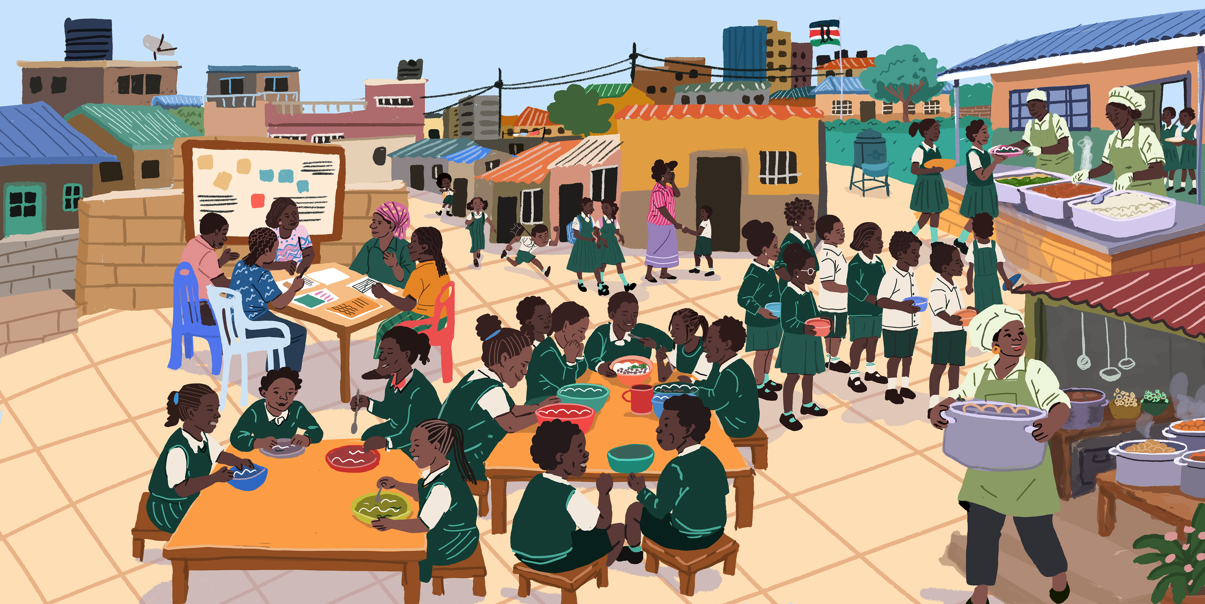
Feeding Nairobi’s Future
This illustration focuses on school feeding in informal schools, showing food as more than a meal. It becomes part of a wider system of learning, attendance, health, dignity, and care. The project visualisation notes that the programme aims to improve access to healthy diets for learners in informal schools, with 1,200 learners fed across four informal schools and a wider system-change message that school feeding should be universal.
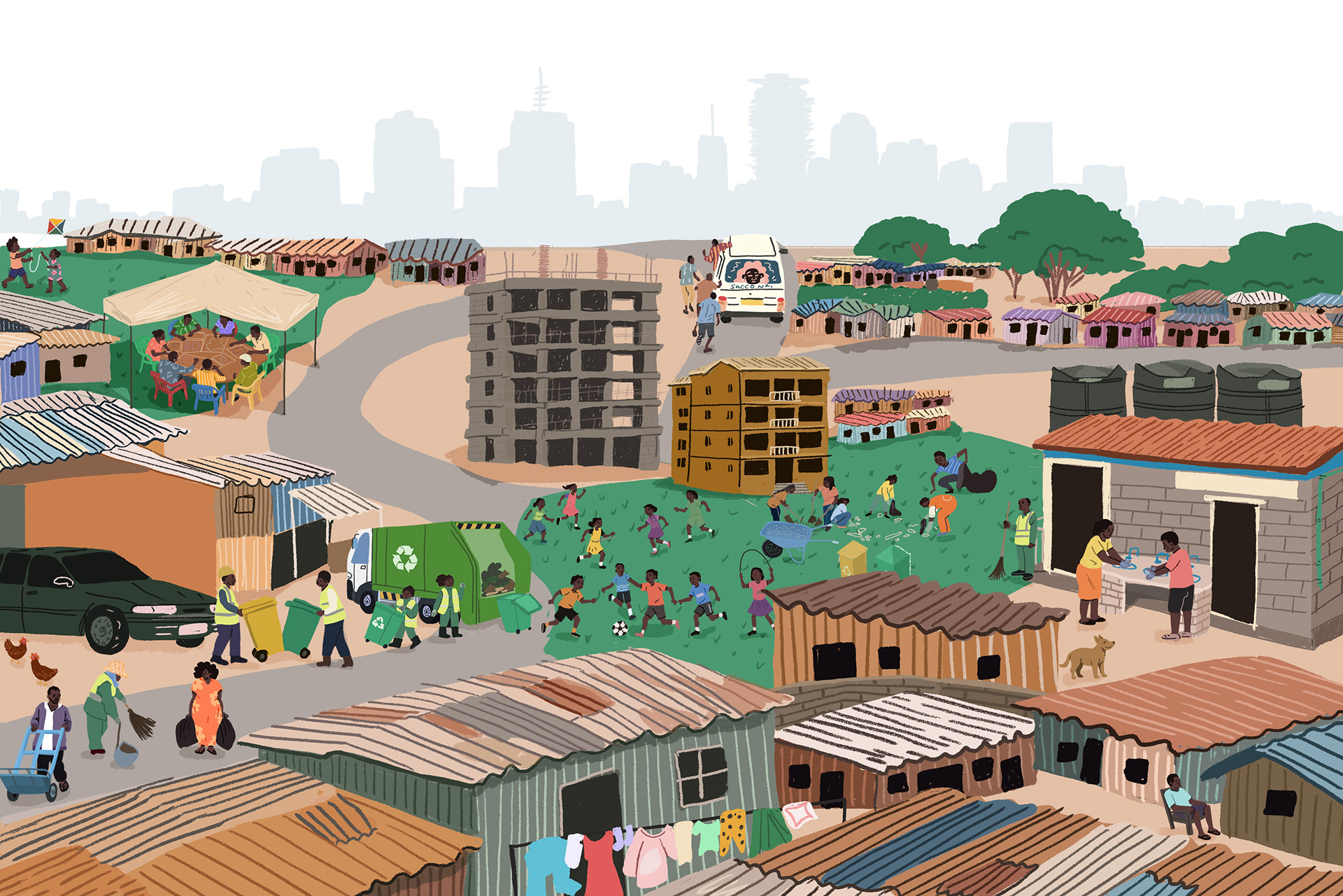
Clean Mathare, Stronger Neighbourhoods
This illustration connects solid waste management, sanitation, public space, and neighbourhood organizing. It shows how cleaner environments are linked to safer public spaces, stronger associations, and better health. The project visualisation describes a model where communities manage solid waste, sanitation, and safe public spaces, with improved waste systems for 6,200 households and two safe spaces serving households within a 500m radius.
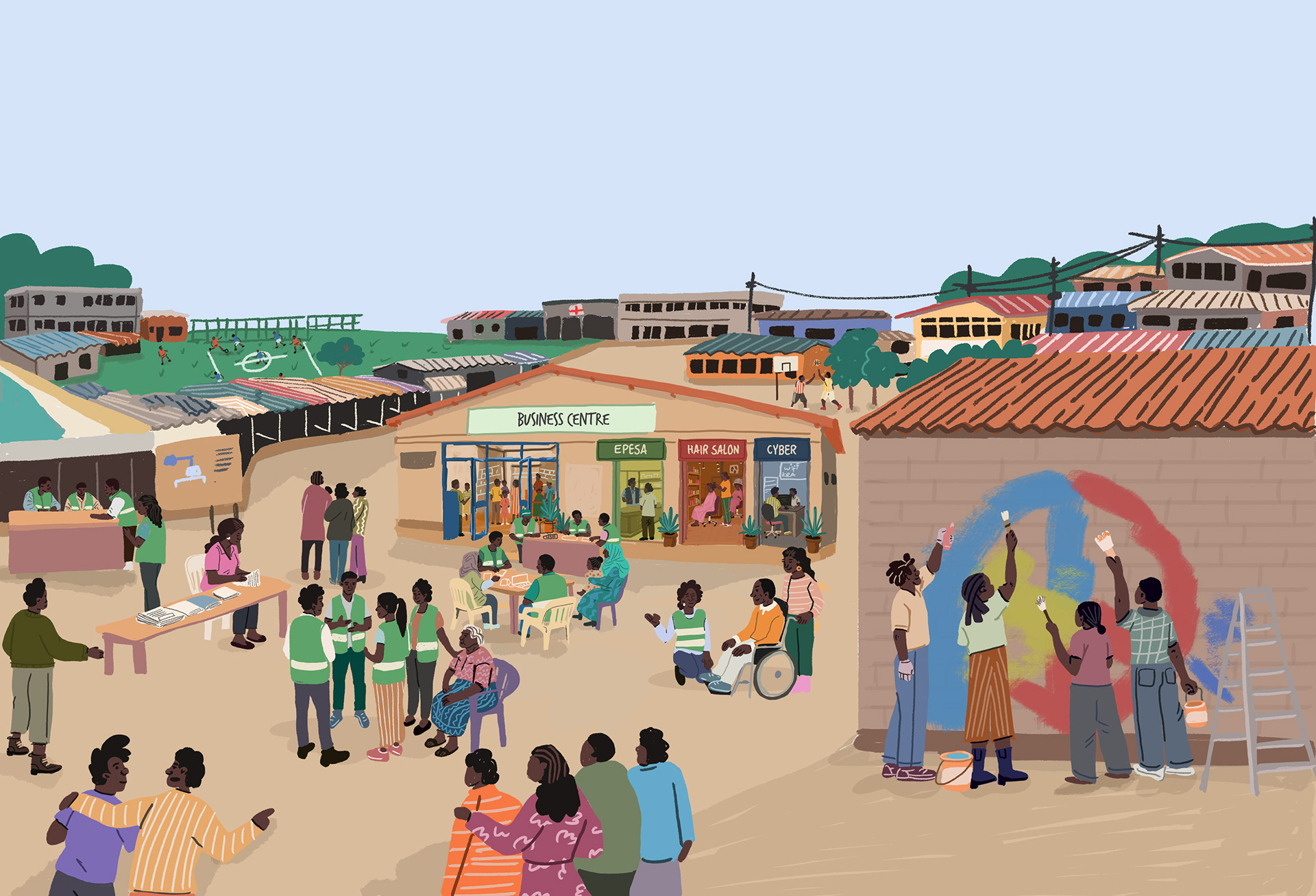
Integrating Urban Refugees into hHostost Communities
This illustration focuses on Nairobi as a city of refuge, service delivery, and shared belonging. It shows refugee integration not as a separate humanitarian issue, but as part of inclusive urban governance. The project visualisation highlights Nairobi’s role in integrating services for urban refugees, including youth facilities, markets, healthcare, ECDE and vocational training, local service representation, and a long-term vision of inclusive urban governance that benefits all.


Thank you for watching!